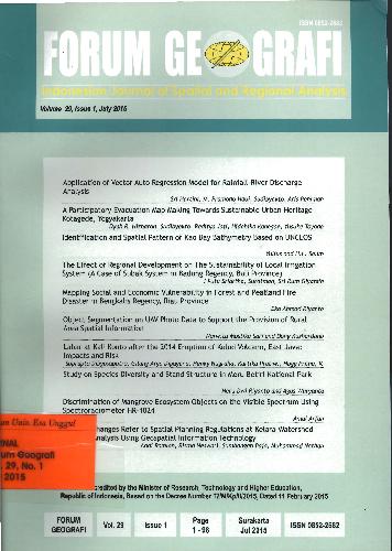
Forum geografi : jurnal penelitian geografi
Application of vector auto regression model for rainfall, participatory evacuation map making towards sustainable urban heritage, identification and spatial pattern based UNCLOS, local irigatin system, mapping social and economic vulnerability in forest and peatland fire disaster, object segmentation on UAV photo data to support the provision of rural area spatial information, eruption impact and risk, study on species diversity and stand structure, mangrove ecosystem object, landuse changes refer to spatial planning regulations
- No. Panggil
- Edisi Vol. 29, Issue 1, July 2015
- Pengarang
- Penerbit Jakarta Fakultas Geografi Universitas Muhammadiyah Surakar 2015

